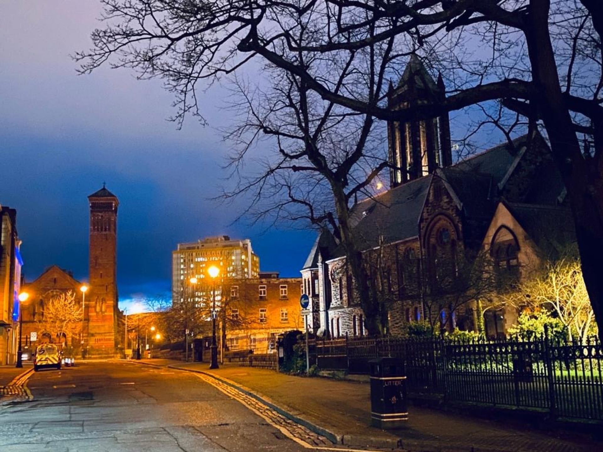
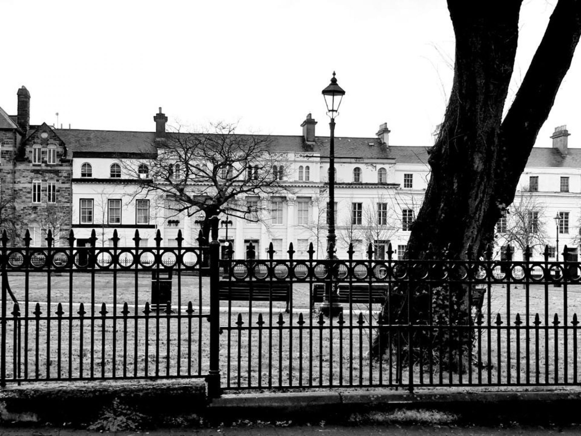
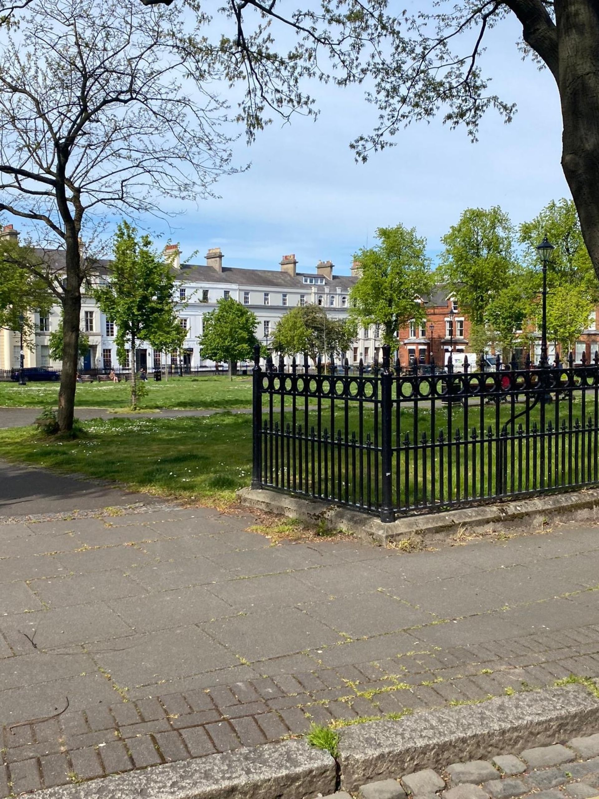
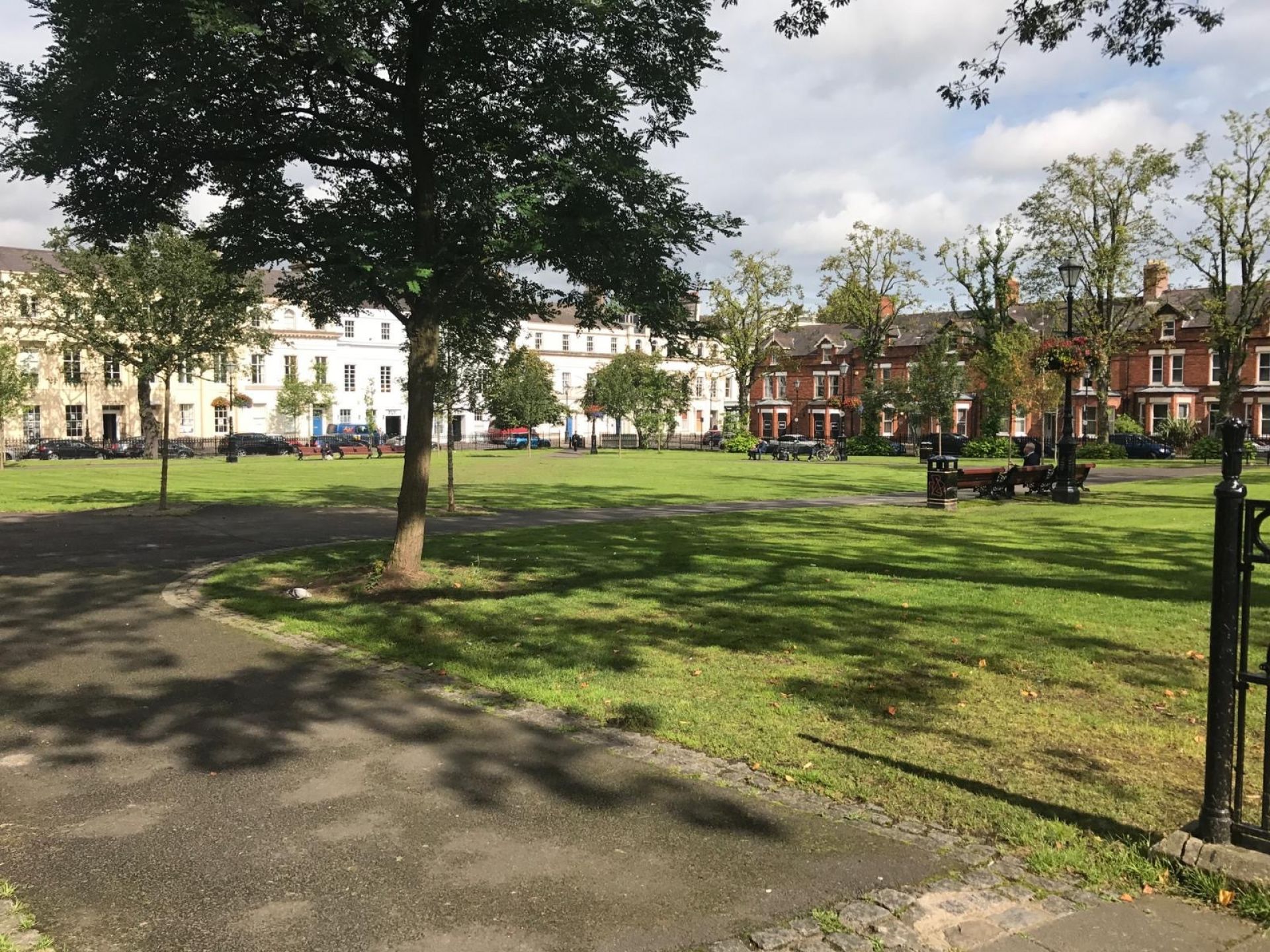
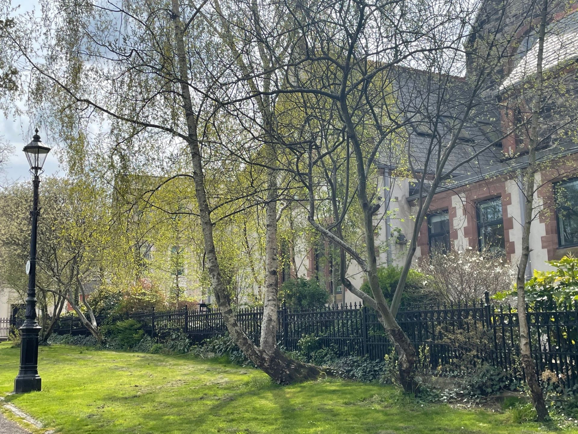
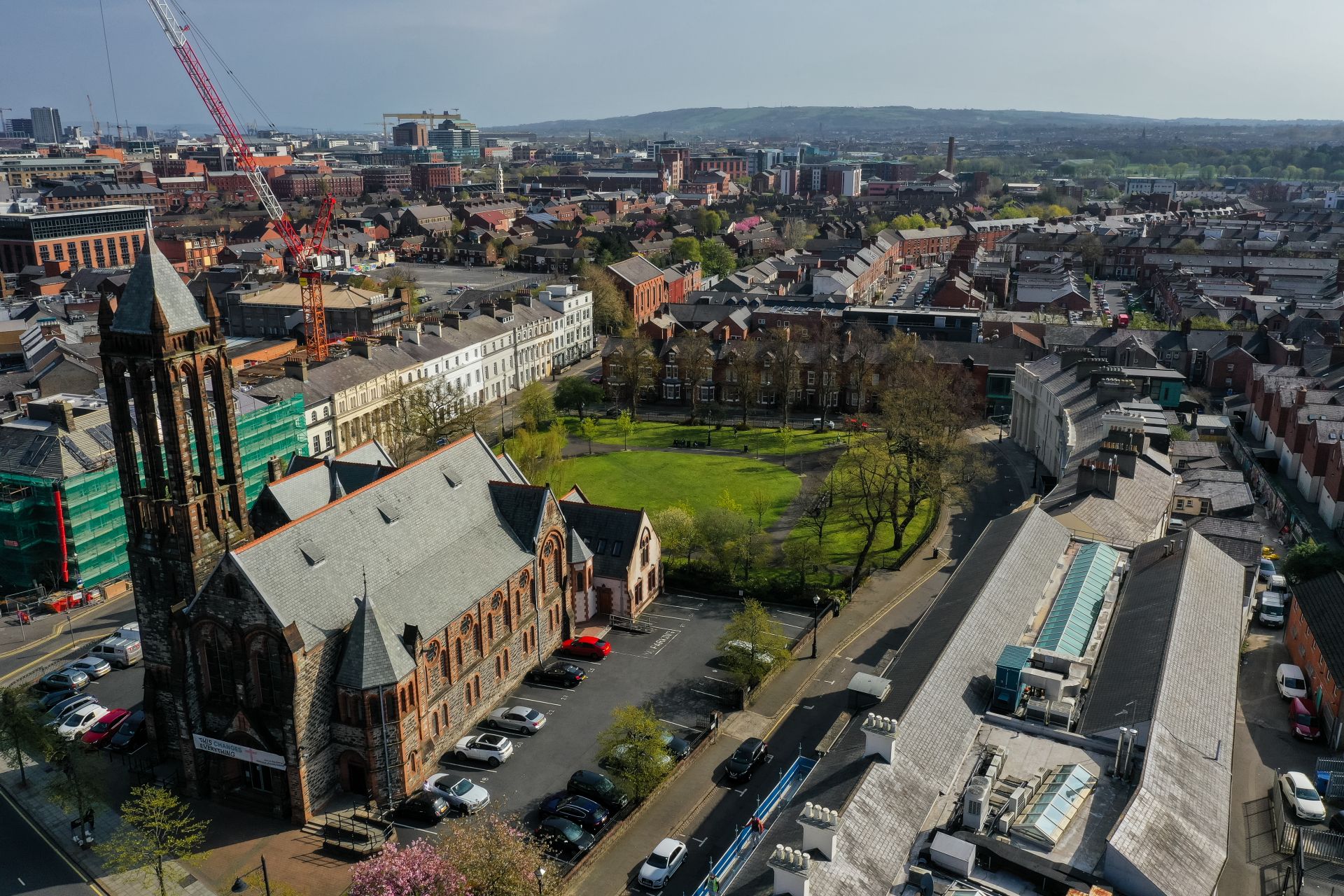
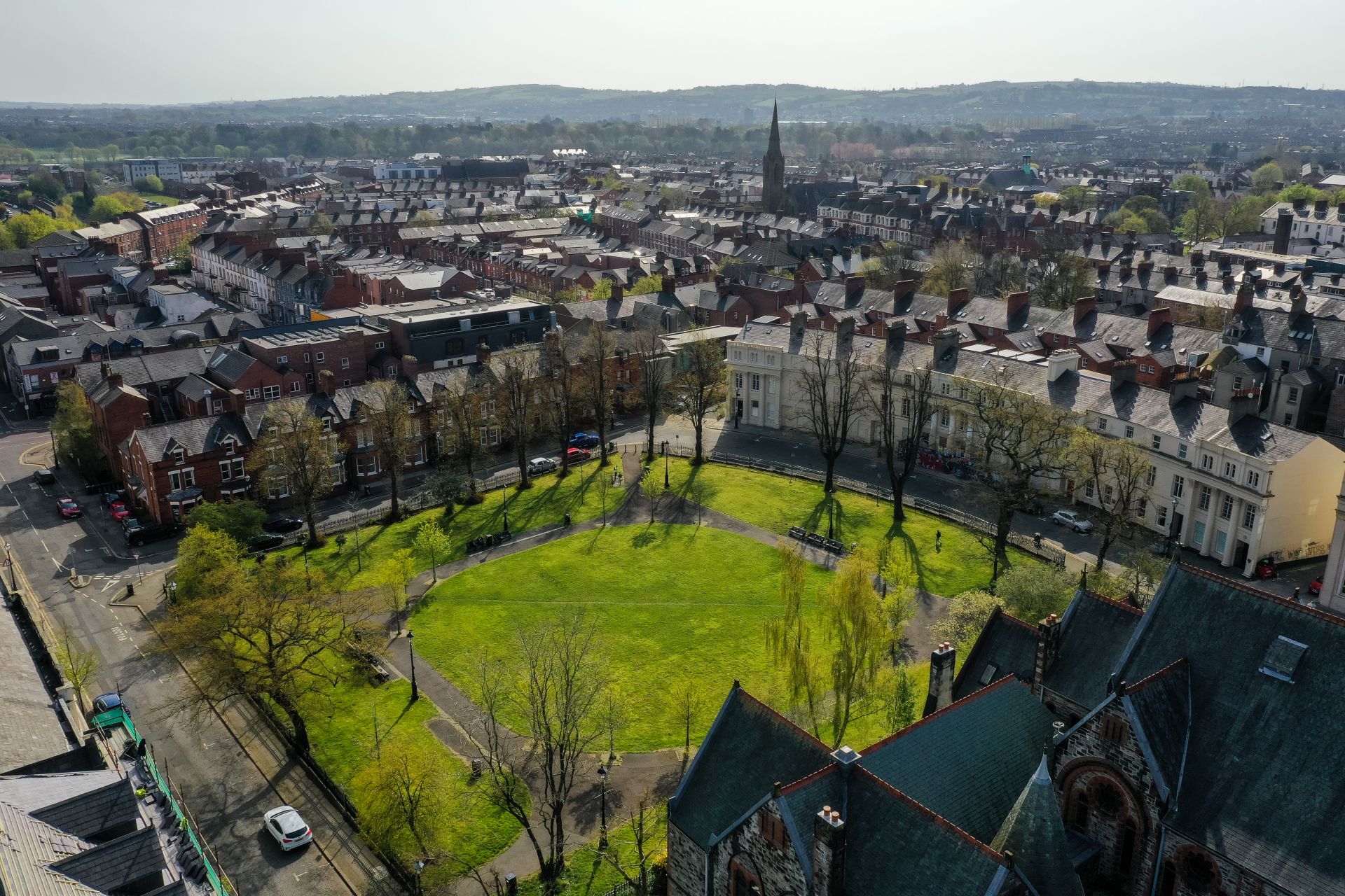
The Crescent
See below for more information on the park and its surrounding buildings.
See below for more information on the park and its surrounding buildings.
Reproduced from the Lord Belmont In Belfast Blog with kind permission from Timothy Ferres.
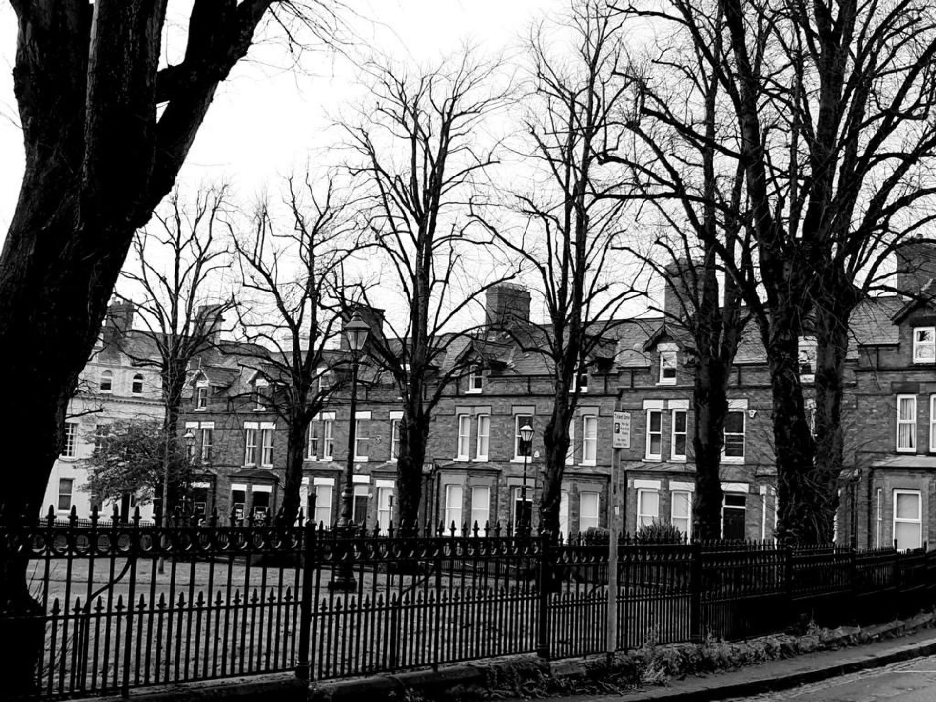
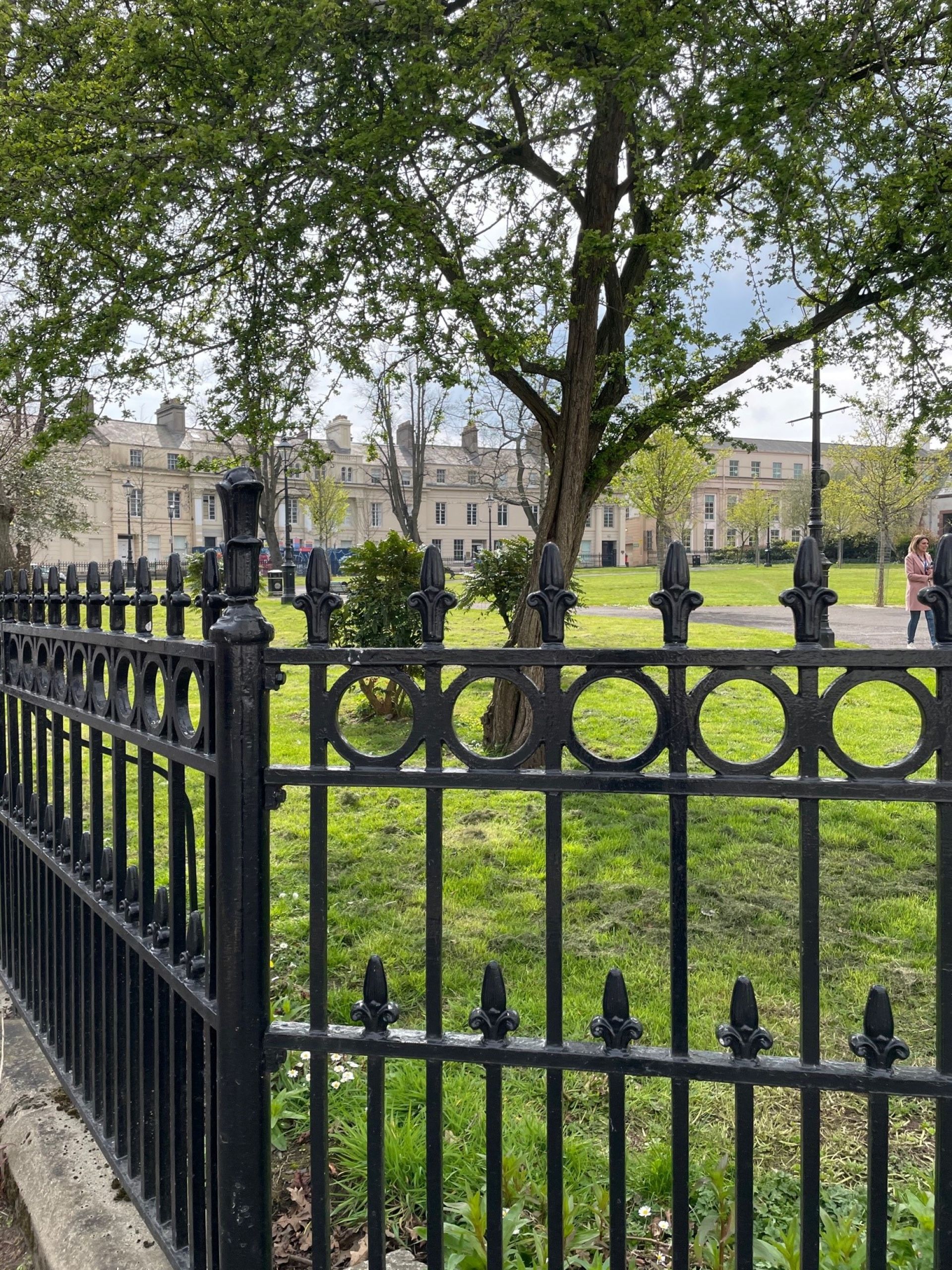
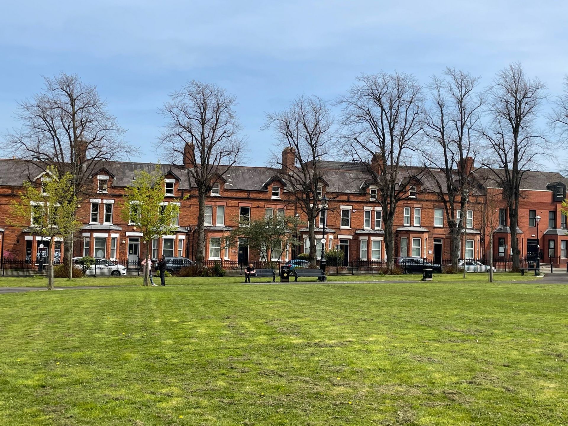
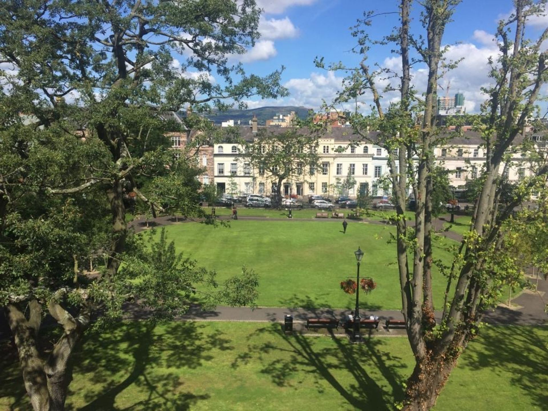
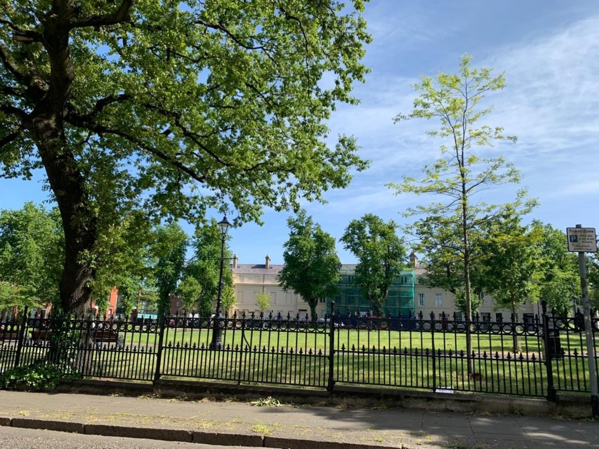
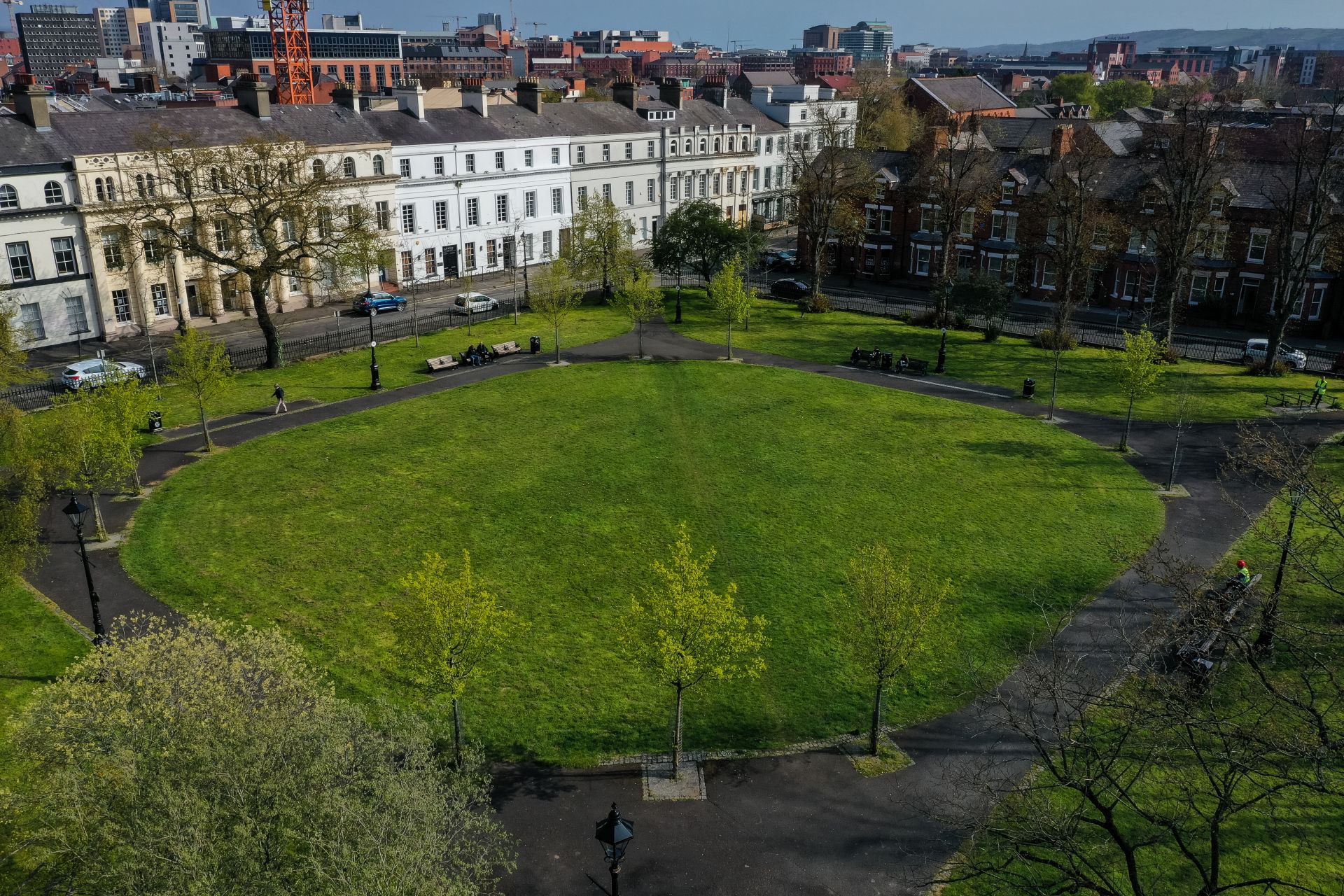
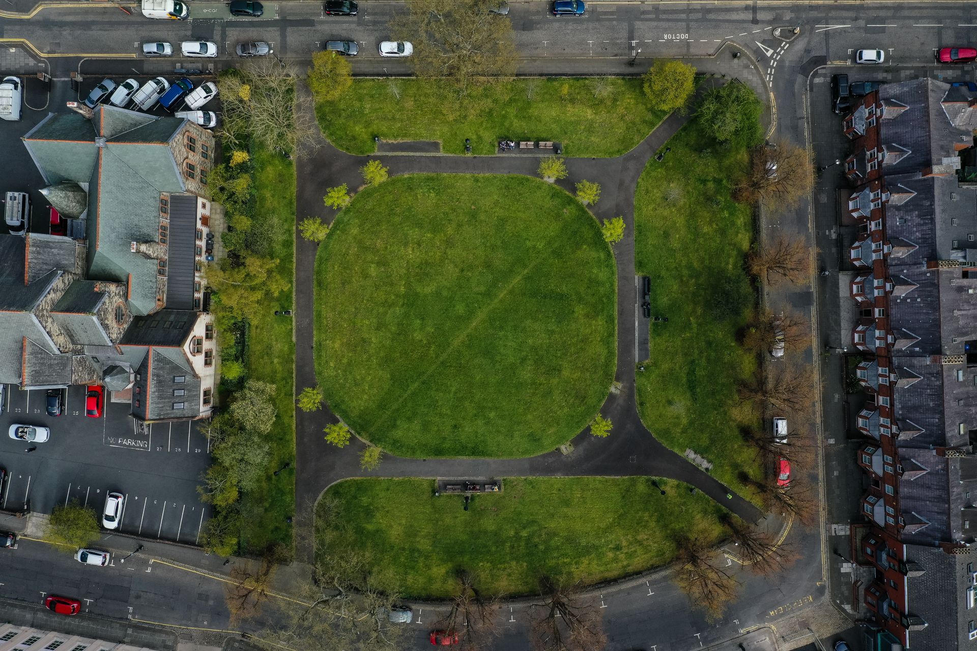
"The Crescent" is the only example in Belfast of an elegant Regency-style garden square, consisting of the beautiful Crescent Park, bordered by Upper Crescent, Lower Crescent and Crescent Gardens. It was constructed in the mid-nineteenth century on lands released for sale by George Augustus Chichester, 2nd Marquess of Donegall.
The area became particularly attractive to developers and inspired the construction of many Georgian-style terraces from the 1830s onwards. The establishment of the nearby Queens University in the 1840s accelerated the development in the area.
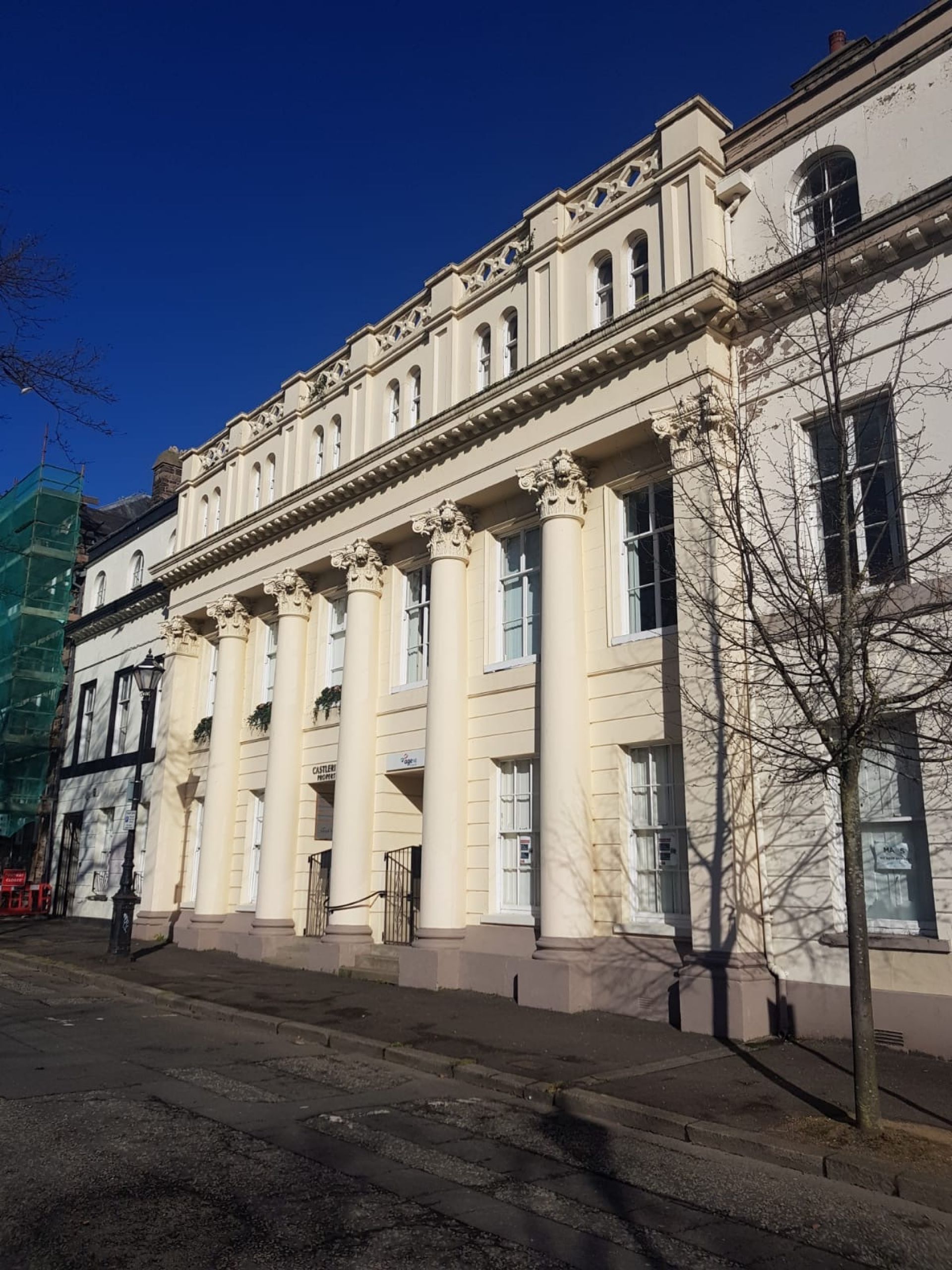
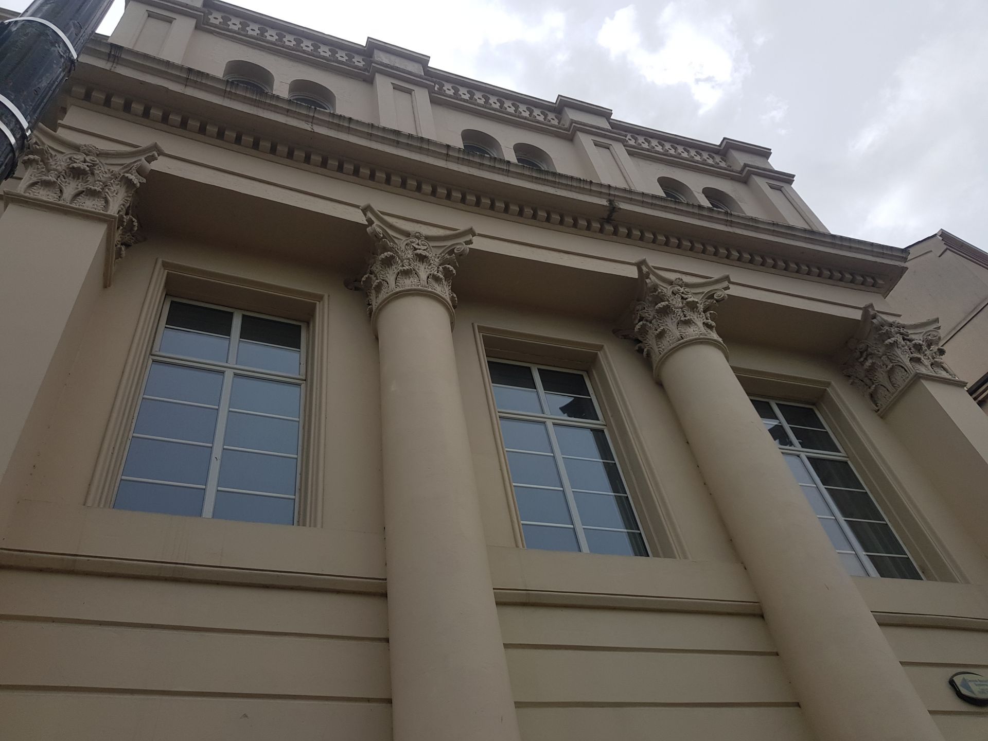
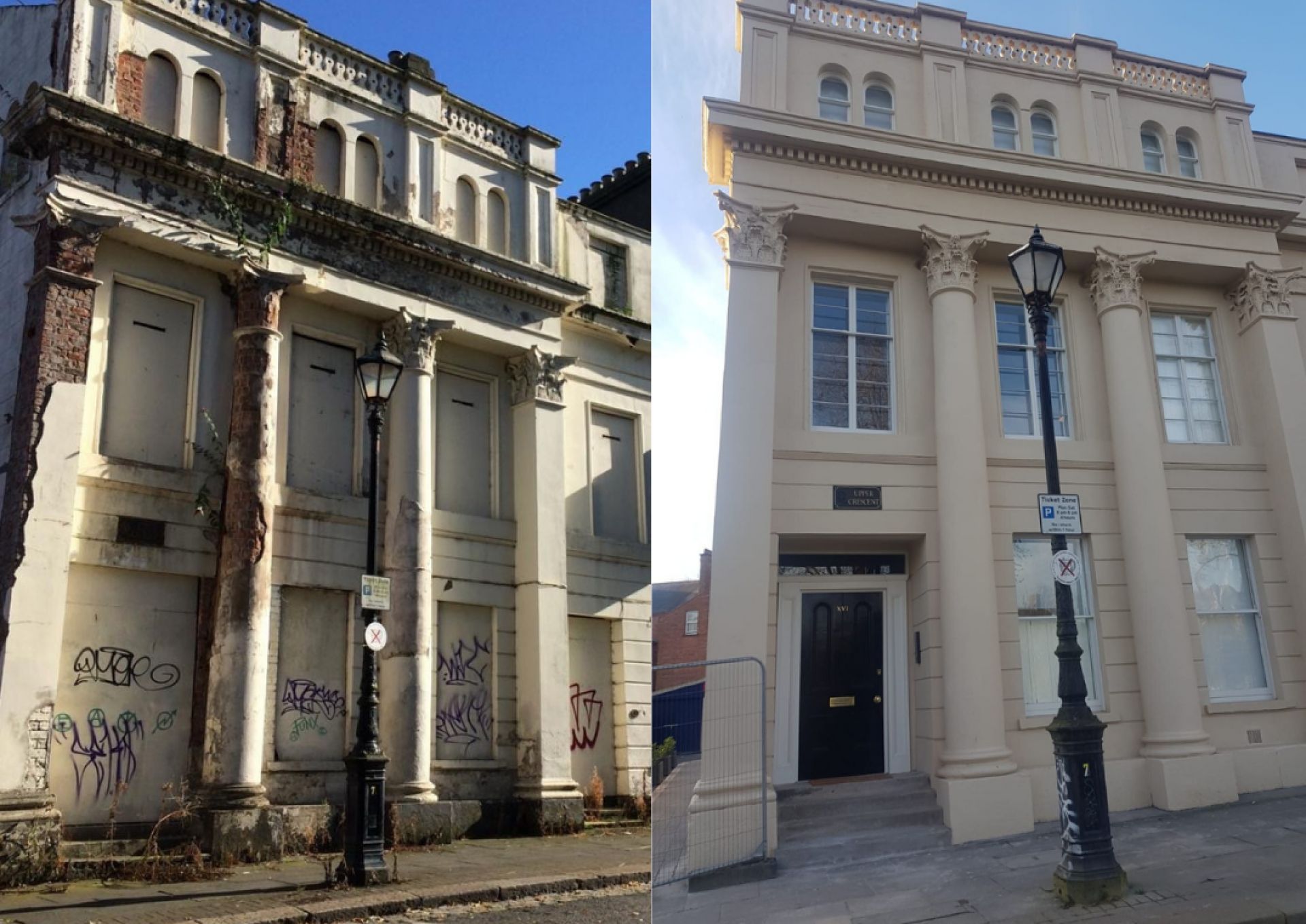
One such development was Upper Crescent which has since been labelled the “grandest terrace development to be undertaken in South Belfast”. The elegant curving row of three-storey dwellings in a late Regency style, were built in 1846 by the timber merchant Robert Corry. It has even been suggested that the celebrated Belfast architect Sir Charles Lanyon may have been involved in the impressive design.
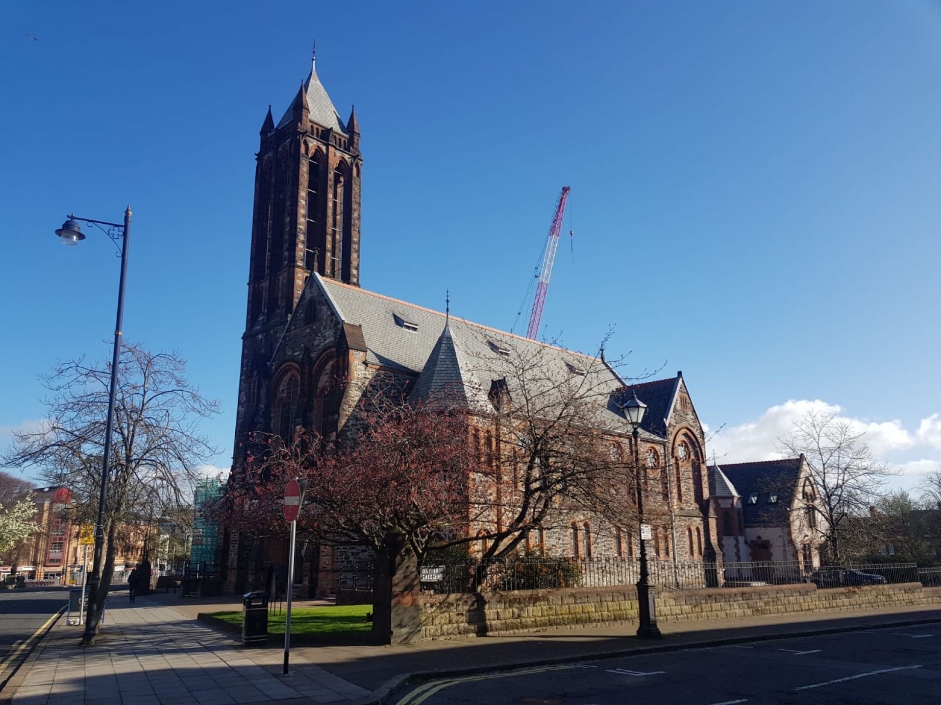
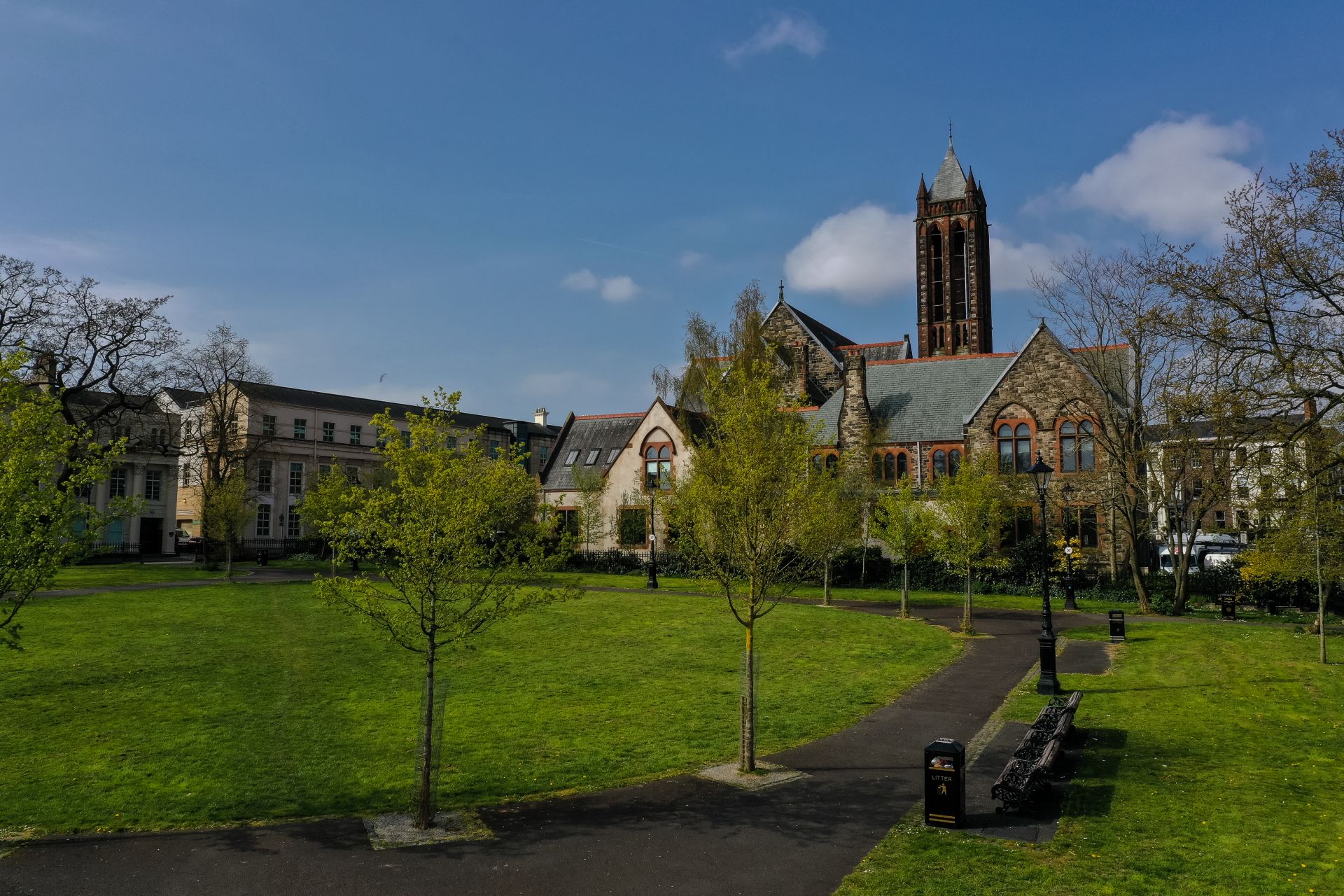
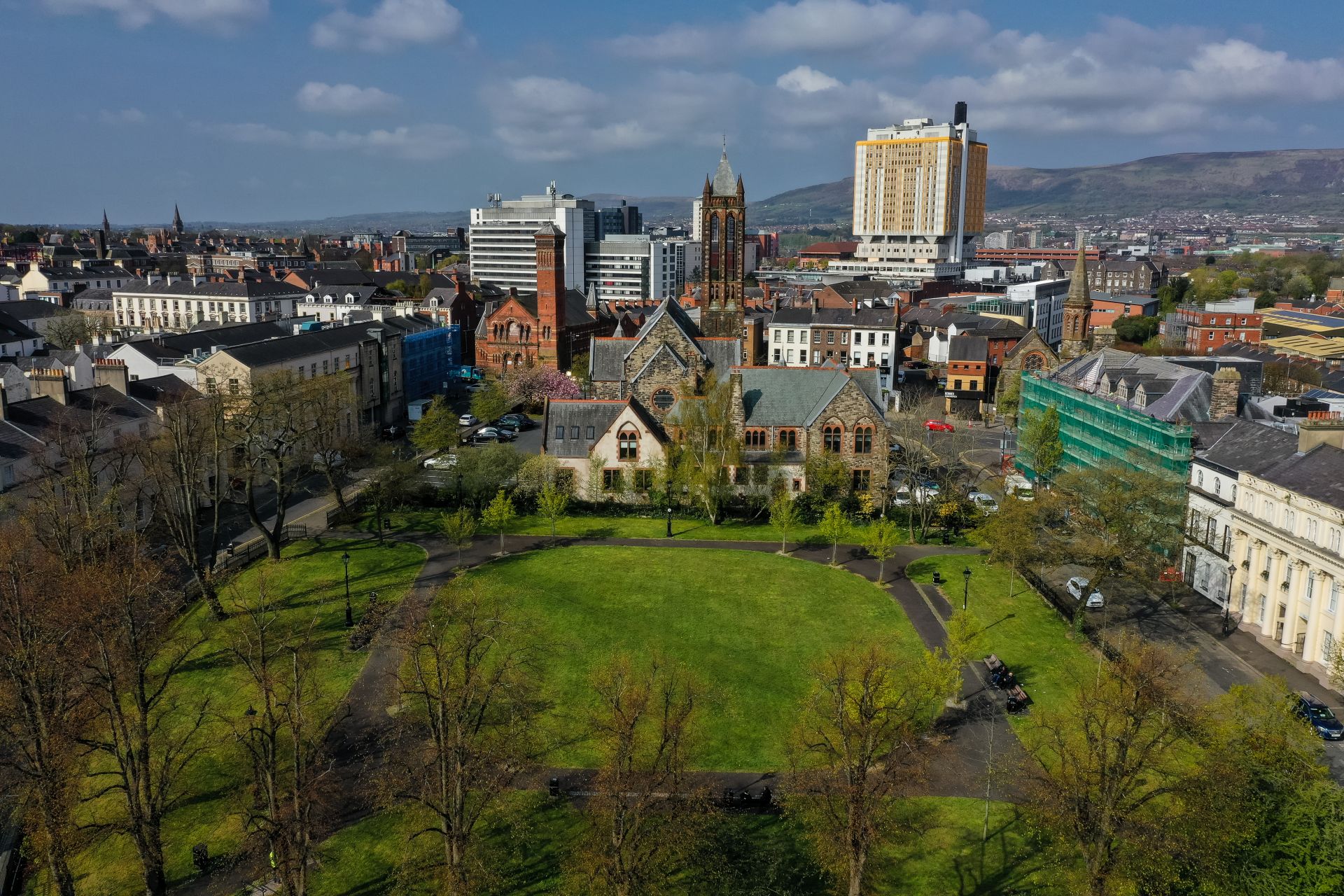
Upon completion of the building work Corry took up residence at 16 Upper Crescent and in the years that followed the area became known as Corry’s Crescent. To the immediate north of Upper Crescent, where Crescent Church now stands, there was a large, grassed area which formed part of Mr Corry's gardens. Shortly after this plot was laid out, however, Corry had it ploughed up and used for the cultivation of vegetables (for the relief of local workers suffering as a result of the famine). To the north of this garden ran an old water course; to the east, some smaller gardens (belonging to other residents of Upper Crescent); and further to the east and to the north-east, Albion Lane.
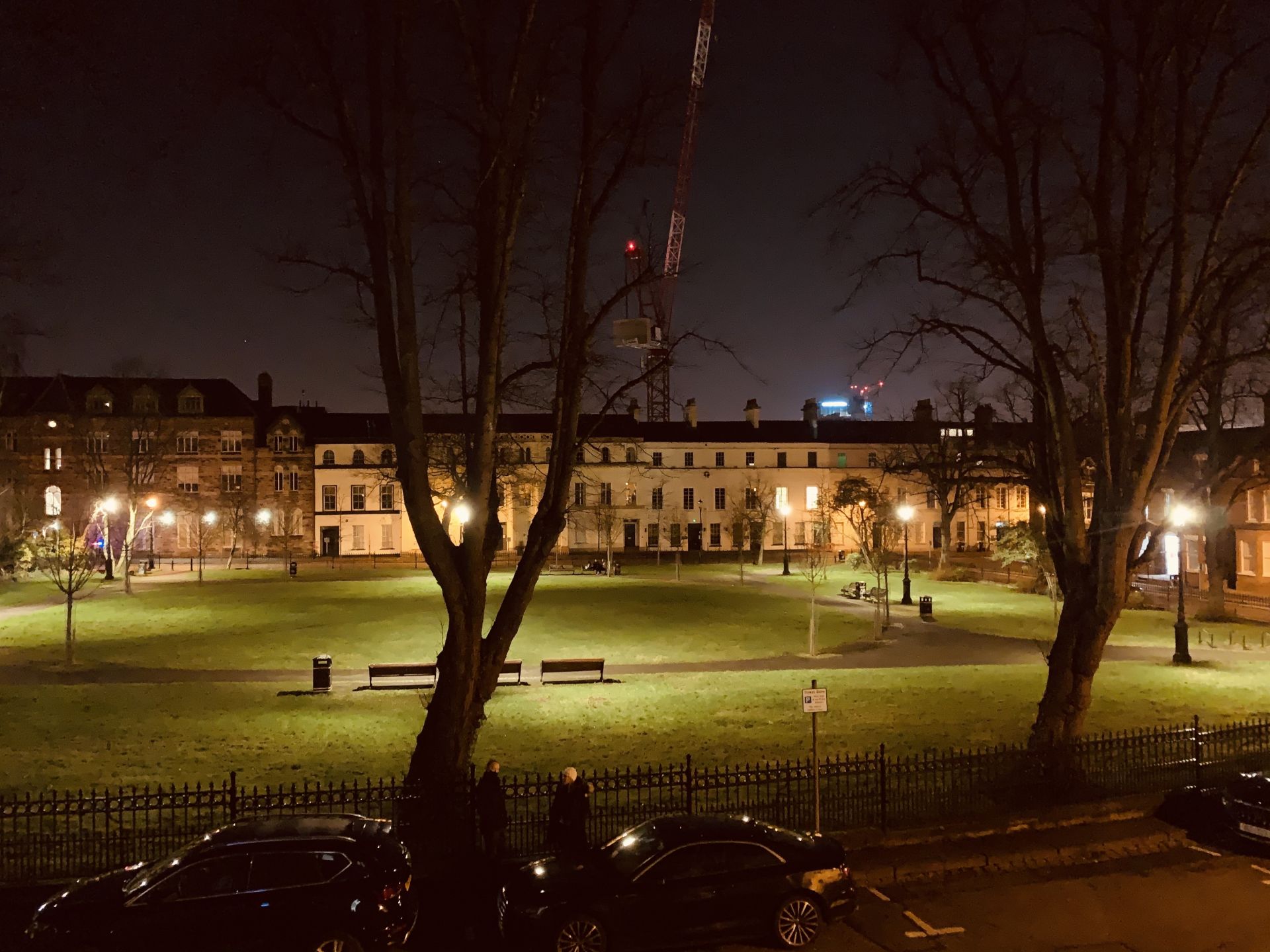
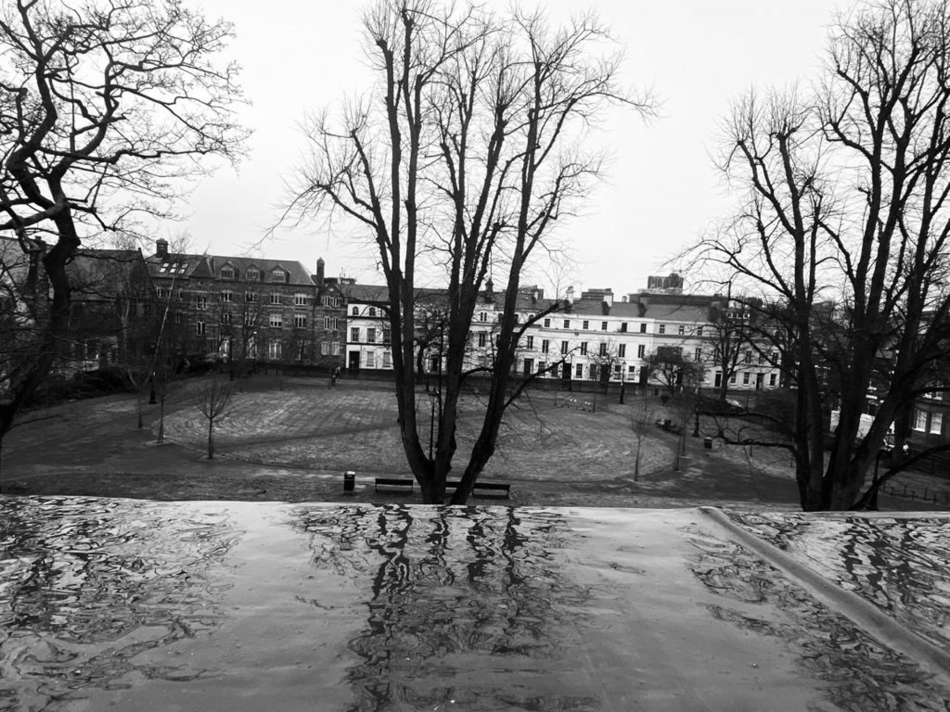
In 1852, Robert Corry built another terrace to the north of his garden and just south of the old water course. This new development, called Lower Crescent, was much in the same vein as that to the south and was occupied by the same mix of professional and businessmen; though, by as early as 1860, the ground floors of some of the properties were utilized as offices.
In the late 1860s, a railway line was laid to the immediate north of Lower Crescent (along the line of the old water course). The railway line cut across Albion Lane and presaged the laying out of a new, broader thoroughfare, to be named Botanic Avenue.
During the first half of the 20th century, most of the properties of Upper and Lower Crescent, as well as Crescent Gardens, remained private residences. By 1960, however, many had become businesses; while others were divided into flats, and Rivoli House (later Dreenagh House) became a hotel.
This trend continued and by the beginning of the 21st century none of the properties were occupied as private dwellings. In the mid-1990s, three of the 1860-70 houses at the west end of Upper Crescent were demolished and a modern office block was built in their place. In 2000, the railway cutting to the south of Lower Crescent was built over in preparation for a new development.
Unfortunately, the 21st Century has also seen many of the building lie derelict – something which we are pleased to see is now changing. Nevertheless, a shift in use to primarily commercial and an influx of anti- social behaviour in the area has left us with a huge task to drive a shift in the local dynamic and ensure many more pages of spectacular history can be written about the Crescent in the years to come.
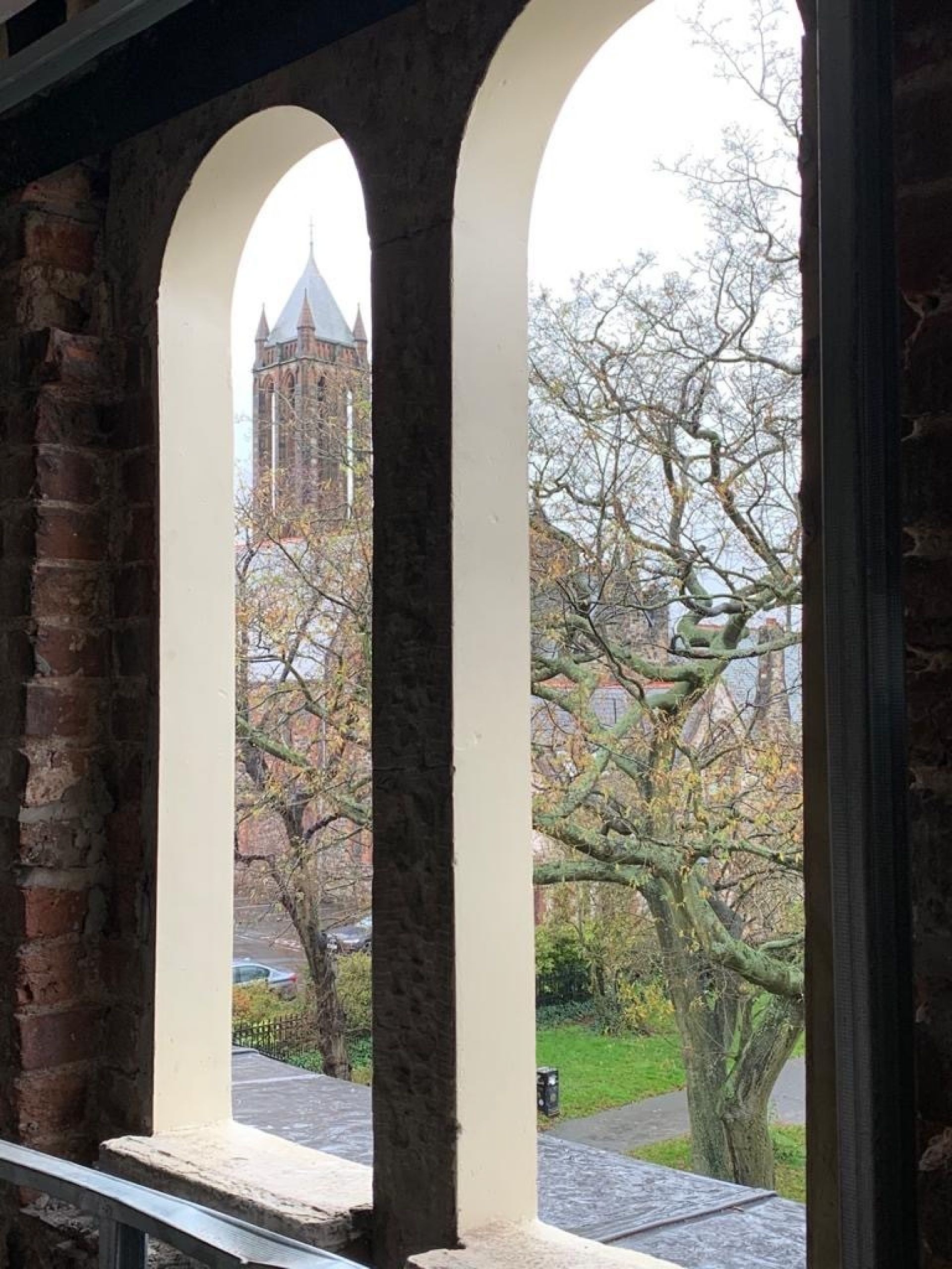
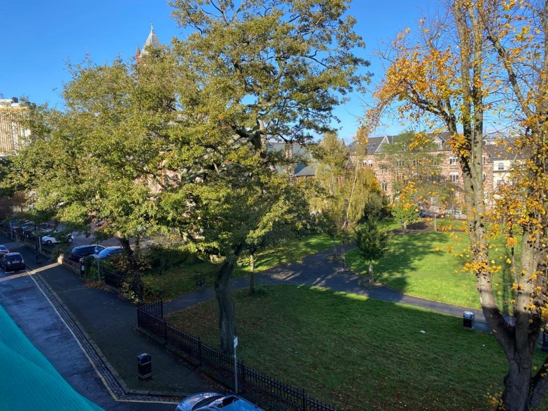
The Crescent can be found between Botanic Avenue and the lower part of University Road, in South Belfast.
Lower Crescent, which runs from 4 University Road to Botanic Avenue, is to the north of the square; whereas Upper Crescent, on the south side, runs from 28 University Road to Crescent Gardens.
View On Google Maps